
Media Mapper
Media Mapper is an open source mapping tool designed for
digital humanities projects using geospatial data,
created by Ennuri Jo at UPenn’s Center for Advanced Research in Global Communication.
Maps Built with Media Mapper
-

Aqueous Earth Catalog
Created by Ennuri Jo (University of Pennsylavnia). A collection of film and media texts featuring bodies of water, made to accompany Jo’s research project Aqueous Image. Read more
-
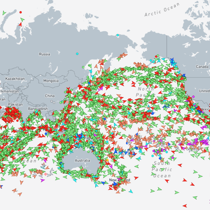
Rendering the Logistical Ocean: Media, Mapping, and the Politics of Maritime Visibility and Knowability
-
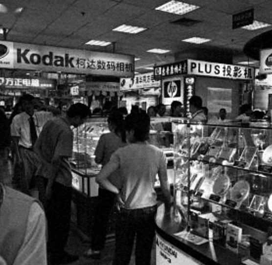
The Lost Electronic Markets
Created by Weilin Zhu (University of Virginia). Accompanying her research on computing history in China from the 1980s to the 2000s, this map traces key electronics hubs and computer markets that flourished in the early 2000s and rapidly declined over the following one to two decades.
-
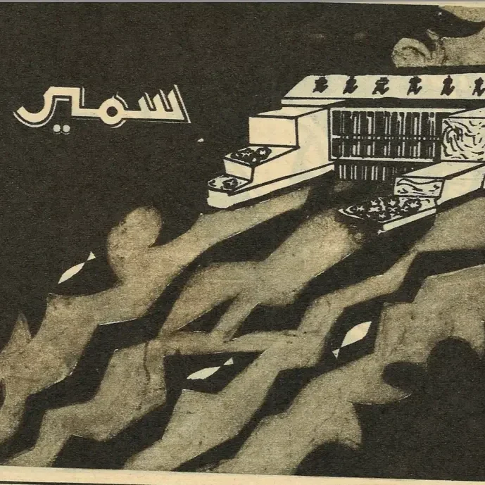
Printing Nasser | Water in Egypt
Created by Meklit Abebe, the mapper geospatially ties connections between Al-Kawākib (illustrated magazine) archives and Egypt's central waterbodies: the Aswan Dam and the Suez Canal.
-
Relational Maps of World Cinema: Awara as a Case Study
This interactive map, currently in development by Sigal Yona, will chart the transnational journey of Raj Kapoor’s Awara (1951). Read More
-
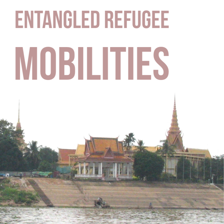
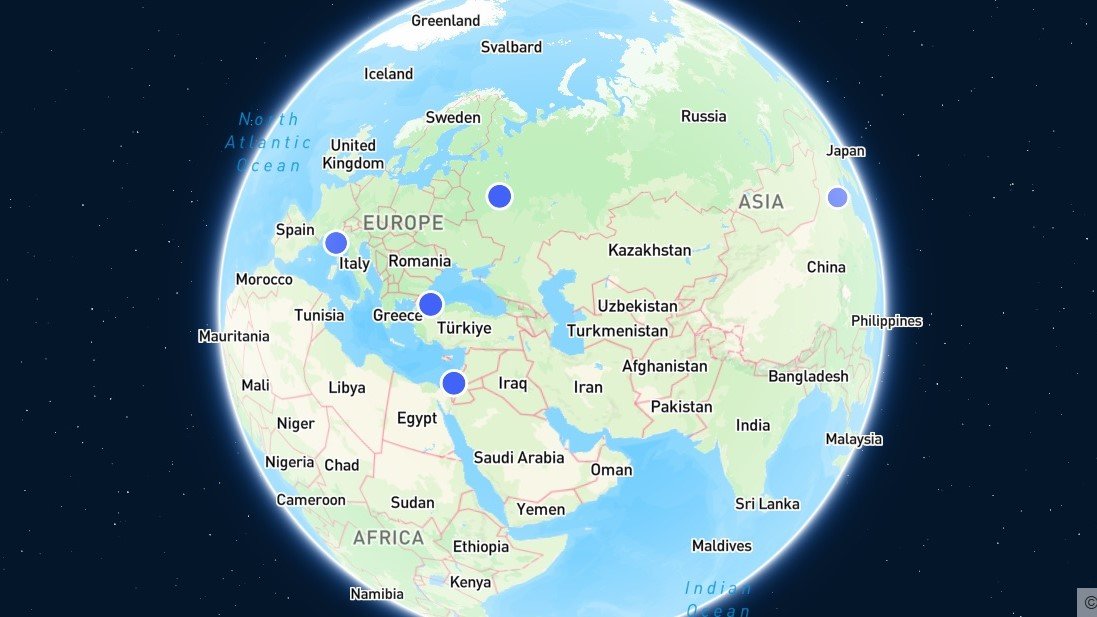
Entangled Refugee Mobilities
Map created by Stephanie Benzaquen-Gautier (IIAS/Leiden and CKS/Phnom Penh), Entangled Refugee Mobilities retraces the trajectories of various refugee groups in Cambodia during the 1970-1975 civil war between the Khmer Republic and the communist insurgency (‘Khmer Rouge’). Read more